
Hetong Fm
Type Locality and Naming
Northernmost Guangxi. The Hetong Fm was named by the Guangxi Party of Regional Geological Survey in 1966 and was published on the Guidebook of 1 : 200 000 Scale Geological Map of Rong'an in 1968. The typical section is situated in the northwest of Hetong village in Danzhou, Sanjiang County, Guangxi Zhuangzhu Zizhiqu (Guangxi Zhuang Autonomous Region). Middle formation in the Danzhou Gr.
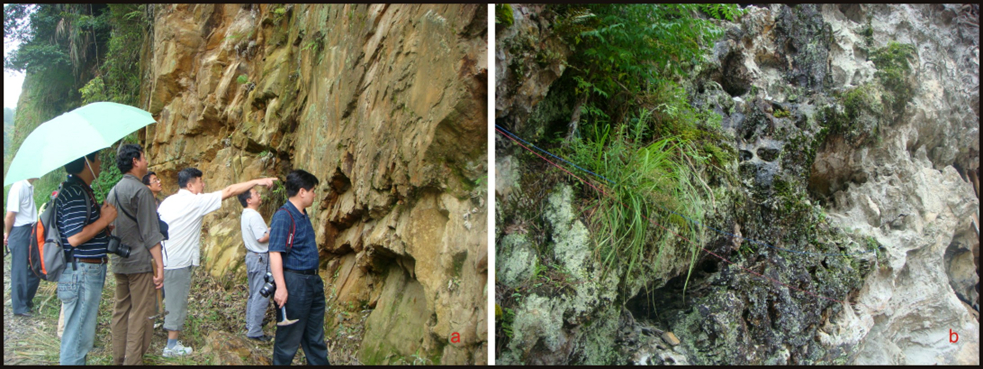
[Figure: The Hetong Formation in the Longsheng area, Guangxi Province (photos by Chen Jianshu)]
Synonym: (合桐组)
Lithology and Thickness
The Hetong Fm is subdivided into two members. Lowre member is composed of dark gray and greenish gray sericite phyllite, sericite quartz phyllite intercalated with meta-sandstone and siltstone. The meta-sandstone in base contains syngenetic rubbles of the underlying shale and on the sole, there are flute cast structures. The meta-sandstone in upper part is generally intercalated with phyllite and slate, bearing Bouma sequences with about 313 m thick. Upper member is dominated by dark gray to black carbonaceous slate (or phyllite) intercalated with green sericite phyllite and meta-sandstone, locally intercalated with dolomite and conglomerate lenses, with oblique beddings and banded structures. The carbonaceous slate contains pyrite. In Sanmen area of Longsheng County, the middle-upper part is dominated by spilite, keratophyre, intermediate-basic lava-agglomerate, black phyllite, marble and chert. In Longsheng and Sanmen area, where volcanic rocks are developed. It is 313 m thick.
Relationships and Distribution
Lower contact
The lower part rests conformably on the underlying Baizhu Fm
Upper contact
The upper part lies conformably below the Gongdong Fm
Regional extent
Northernmost Guangxi. It is developed in Sanjiang County, Guangxi.
GeoJSON
Fossils
The Hashihar Formation yields abundant microplants, dominated by Trematosphaeridium holtedahlii, Trachysphaeridium incrassatum, T. simplex, T. cf. rugosum, T. cf. stipticum, Asperatopsophosphaera partialis, Pseudozonosphaera verrucosa, Lophosphaeridium gibberosum, etc., and stromatolites Gymnnosolen f., etc. Microplants: Leiopsophosphaera sp., Brocholaminaria sp., Leiominuscula sp.
Age
Depositional setting
Additional Information